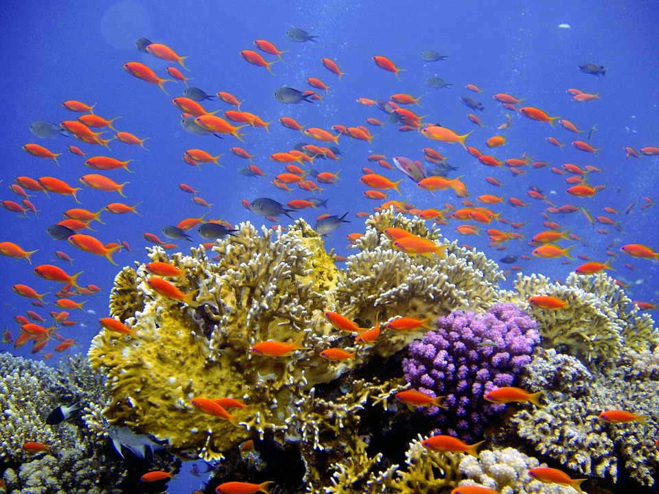
Coral reefs line shores around the world, but they’re sometimes tough to spot because they’re underwater. Now, a group of researchers has found that satellite imagery is capable of mapping reefs on a global scale. They’ve used the technology, along with field studies, to create the world’s most thorough coral reef atlas to date—including some of the most remote reefs on Earth.


