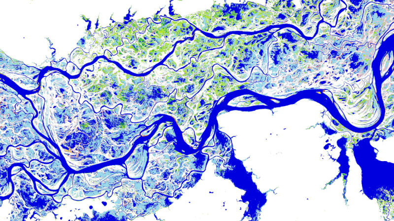
Using a computer system to parse through over three million satellite photos, scientists have compiled a high-resolution map of the Earth that’s offering an unprecedented glimpse into how our planet’s surface water has changed over the past three decades.
LINK (via:Gizmodo)


